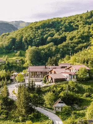
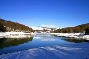
Mavrovo - a national park in western Macedonia covering an area of 73,088 hectares, is the largest among the three national parks in Macedonia. Designated as a national park in 1949, it encompasses the mountains of Korab, Deshat, the southwestern slopes of Shar Mountain, a significant part of Bistra, and the northern parts of Krchin. The central part of the national park includes the valley and the basin of the Radika River. Also within the national park is the artificial Mavrovo Lake.
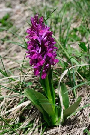
Within the park's boundaries, numerous fascinating morphological formations can be found: river valleys, gorges, waterfalls, karst fields, basins, sinkholes, caves, cirques, glacial lakes, various forms of denudation, and more. The predominant vegetation in the park is the community of beech forests. Within the boundaries of the Mavrovo National Park are over 52 mountain peaks with elevations exceeding 2000 meters, among which the most notable are Medenica Peak in the Bistra mountain, Velivar, Sandaktash, and others. Of particular significance to the Mavrovo National Park is Golem Korab Peak (2764 meters above sea level), which is also the highest peak in the Republic of North Macedonia and thus the highest point of the park. The lowest point in the Mavrovo National Park is at 600 meters above sea level, located at the confluence of the Mala River into the Radika River.


